
Some people travel. Some people wander. I’m a wanderer. On a recent trip, for example, I set out with a couple of loose goals anchored by a two-night reservation at a bed and breakfast in Coeur D’Alene (CDA), Idaho. First I wanted to explore the Centennial Trail. Second was a long-overdue visit with friends in Seattle. I envisioned exploring Olympic National Park on the way home. The more traveled road from Boise to CDA takes about seven hours of highway cruising. But highways are not for wanderers. I prefer back roads—roads that allow me to gawk and gape and suddenly veer to the shoulder for an ad hoc photo.


 A concession to the bike strapped to the back of my car, I intended to stay on paved roads as much as possible. From Boise to Grangeville I followed the standard route: State Highway (SH) 55 then Interstate 95, deviating only for the old portion of the Whitebird grade. Pondering the night’s camping possibilities, I spied a sign pointing to Snowhaven Ski Area east of Grangeville. A paved road climbs steeply and meanders past a patchwork of private homes. At seven miles, I reached the ski area, owned by the city of Grangeville and quite obviously off limits to camping. But the road continues onward and upward through dense forest and so did I. Normally I look for little two-track trails leading into secluded woods, but I wasn’t seeing anything promising. With the sun racing for the western horizon, I pulled into Fish Creek Campground and grabbed one of several available sites near the entrance. This was a reminder of why I loathe campgrounds. Around the corner a village of homes on wheels was plugged into every possible noise making device. Meanwhile shrieking children rode bikes through my campsite as if I weren’t there.
A hard rain during the night made me appreciate the comfort of my camper-car. After a farmer’s breakfast in Grangeville, I drove SHs 13 and 12, respectively, through Kooskia and Kamiah.
- Early in the AM this little guy greeted me as I pulled out of camp.


 Just west of Orofino, I meandered through the Palouse along Cavendish Grade and Southwick Road to SH 3, which took me north through Deary, Bovill, and Santa—all villages too tiny for stop signs. By early afternoon I arrived in St. Maries, where I planned to unload the bike and ride a dirt portion of the north Idaho trail system.

First Indian Presbyterian Church – Kamiah, Id


I’ve been hearing about the magic of this trail for years. I had a map and a vague idea of what was in store: lots of tunnels, some dirt portions of road, some paved portions, some portions of road to be shared with cars, and many options. I discovered that my map was really more of an idealized diagram of possibilities. I drove around and drove around looking for the trailhead. I finally asked a cop. He looked at me like I’d lost my marbles. “A bike path? Here? Nah, ya gotta go up north Wallace or Mullan way. I think ya can catch it at Plummer, too.”
Well hell. I knew the major portion of the trail was up there, but I was looking for the Old Milwaukee Scenic Alternative Trail—which on my map clearly begins in St. Maries and connects with the Route of the Hiawatha, which in turn connects with the Trail of the Couer d’Alenes in Mullan. I found Milwaukee Rd, which quickly turned into dirt and ended at an old mill. I bypassed a residential street. Then, noting that my diagram showed a couple of river crossings, I tried the St. Joe River Road on the other side of the river. This road was gravel, in good condition, lovely, and even went through a tunnel.
At places, I could see the gravel road on the other side of the river which had to be the other portion of the Milwaukee scenic alternative. I followed this road, Forest Service 50, all the way to Avery, where I found the bike trail headed north toward Pearson.

Intersection of FS50 with N. Fork St. Joe Rd near the Avery to Pearson section of the trail.
This is the famous Route of the Hiawatha portion of the trail that contains the tunnels and trestle bridges I’ve heard so much about. But by this time, it was nearly 4 PM—way too late to begin a rather serious climb on a trail that eventually ends in Montana. So, I backtracked to Calder for a burger that I needed a ladder to negotiate.
 Then it was time to find my own private Idaho camp site. It being a Monday early in the season, I found Shadowy St. Joe campground to be completely empty but for the camp hosts. I spent another night snugged into my sleeping bag while rain thrummed the top of my car. A beautiful meadow of wet, wild onions greeted me in the morning.
Back in St. Maries, I saw banners advertising espresso. Hoping to snag some breakfast too, imagine my surprise when I found a row of shampoo basins lining one wall of the espresso joint! But the barista kindly pointed me in the direction of a good hot meal at the end of the block. I’d passed right by, thinking it was a Laundromat. Go figure!
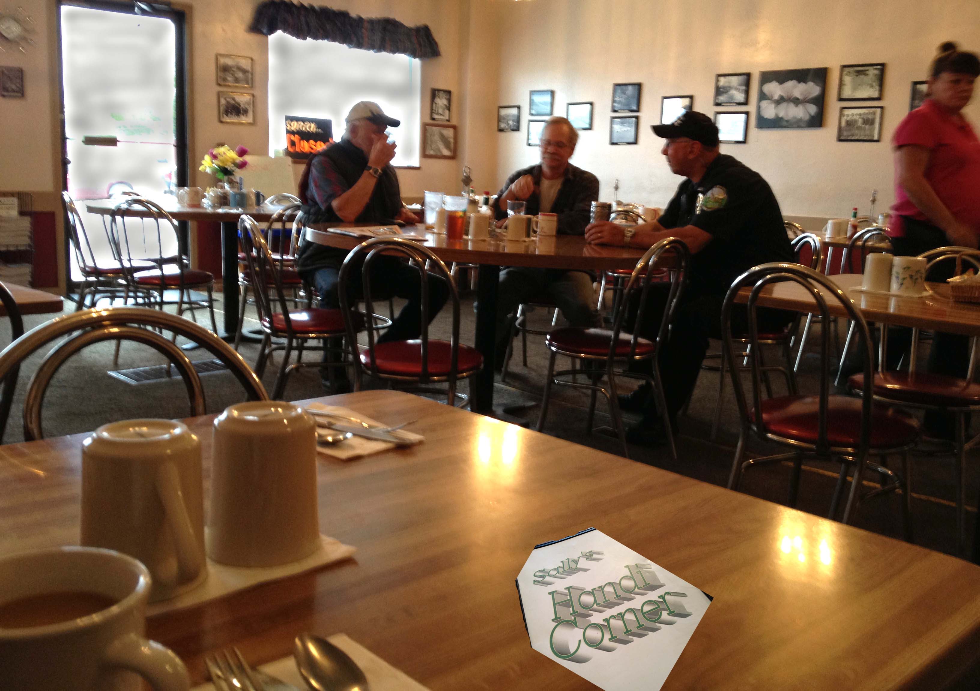
Small town regulars joined by the cop, of course.
The breakfast was delightful, but cowboy coffee not so much. I returned to the Espresso-salon on the way to the car. The barista, now joined by another employee, smiled warmly. “I knew you’d be back!” she crowed. Then, she asked if I were planning on riding the trail.
“Eeyaaah . . . if I can ever find it!”
These ladies also seemed unaware of the Old Milwaukee section of the trail. But they recommended that I pick the trail up either at Chatcolet in Heyburn State Park or in Harrison. So armed with a delicious mocha, off I went on SH 3, headed for the small tourist town of Harrison.
My next post will describe the delights that awaited me once I finally found the Trail of the Coeur d’Alenes.

Such a pretty part of Idaho. Brings back to mind our motorcycle trip coming back from Alberta, through that part of the country, Orofino, Grangeville, White Bird, etc.Looking forward to hearing more.
LikeLike
Hope you’ll enjoy the rest.
LikeLike
Sounds like you had a great time!
LikeLike
Yeah, I did. Why is there never enough time? I know I shouldn’t be complaining…but, really….
LikeLike
Among other things, I especially liked your describing “wandering” vs “traveling and what that means. Your photos as always capture mood and intimacy, Your “lonesome barn” the filly and the mare stuck me.
LikeLike
Thanks, Robert. Wish my skills were up to my eye. It was unbelievable how messed up my photos were. I’ve since had a lesson. Hopefully, future photos will be of better quality.
LikeLike
What a delightful way to spend time on your own. I admire you. I hope to do the same sort of thing some day.
LikeLike
I’m sure you will, when the time is right. Sometimes I wonder if I’m not isolating myself too much. But I so love the solitude.
LikeLike
I do, too, Linda – and there’s nothing wrong with it!
LikeLike
Your pictures are fantastic and I love your descriptions and dialogue while looking for the trailhead. Several of the pictures make the grassland look mossy and so moist. Very nice Linda.
LikeLike
Thanks, Renee. Believe it or not I’m still trying to learn how to properly use my camera. The day after I got back from this trip I took a class from a local photographer and he solved a bunch of riddles for me. Now I’d like to redo the trip!
Idaho is not always so green and juicy. But in the spring, and in this area called the Palouse, it does go through a wonderfully lush period.
LikeLike
Stunning photos, Linda, and perfect commentary.
By the way, my younger brother lives in Grangeville. Well, that’s his mailing address, anyway. When he first moved to Idaho, it was Kooskia. I guess they re-drew the lines.
LikeLike
Thanks, Charles. That is amazing about your brother! He lives in some of the most beautiful country in the state. Is he a farmer or a teacher? (not much in between 😉
LikeLike
Pingback: Wandering about and primed for adventure; Part 2 | Rangewriter
Most excellent! I’ve been meaning to make this trip. I’m going to follow your route this summer and post a story about my trip on my blog. Compare & contrast, ya know.
LikeLike
I’m sure you’ll zero in on your destinations with a lot less tail chasing than I used! 😉
LikeLike
Well, yes…since I’ll be following YOUR route!
LikeLike
Hah! My route meanders like a dog following its nose. Very little science, but a lot of wonder.
LikeLike
Pingback: Wandering about and primed for adventure; Part 3 | Rangewriter
I share your sentiments on campgrounds. While travelling (or is that wandering?) the South of the US by car with my sister some 11 years ago we came across some nasty last resorts. Noisy, pricey and often not very accommodating for “tenters”. We tried to stick to State Park campgrounds as much as possible. These were often less “convenient” (i.e. no pool or store, often without electricity and sometimes even without showers) but generally cosy, in beautiful areas with unspoilt nature and, important for us shoestring travellers, inexpensive.
Love your wander blog, Linda, thanks for sharing.
LikeLike
Sandra,
Oh, don’t even get me started on how private campgrounds treat tenters! I agree; state park (and national park) campground don’t discriminate and are lovely places to stay. I couldn’t help myself, I had to post my “tenter’s lament” on my blog – http://sagebrushandspuds.blogspot.com/2012/09/tenters-lament.html
But I DO sign the praises of private campground that welcome tenters. One of my all time favorites is in Artic, WA – http://sagebrushandspuds.blogspot.com/2012/10/a-warm-welcome-in-artic.html
Cindy
LikeLike
Inexpensive and unspoilt nature. That is a combination to quicken the heart!
LikeLike
Nothing fits better than the contrast between “traveling” and “wandering”. I admire you for choosing the latter. You are a woman after my own heart. I love this adventure you are on. Wish I was sharing it with you my friend. It would be a blast. 🙂
p.s. now I Know where the adventure is. I bookedmarked the trail route.
LikeLike
Thanks so much Walter. Yes, it is definitely a region that deserves your attention. You can do a complete loop with a little planning. I only explored a portion of this area. The Trail of the Hiawatha’s is higher in elevation and goes through a bunch of tunnels and over trestle bridges. That will be next on my agenda. I hope to one day see your interpretation of it!
LikeLike
Ha, ha…the island of “The Don’t Hurry”
Looks like a great trip. Must go up there.
LikeLike
You guys would love it. There are some cool campgrounds in the area, too.
LikeLike